Orthomosaics
A VIEW OF THE WHOLE SITEDetailed aerial images stitched into one continuous overhead view, bringing your site into focus.
DRONE MAPPING / PUYALLUP, WA
A clearer view for your next move. Aerial mapping for construction, excavation, and real estate.
Tell us about your projectFAA-certified drone pilot
01 / THE DELIVERABLES
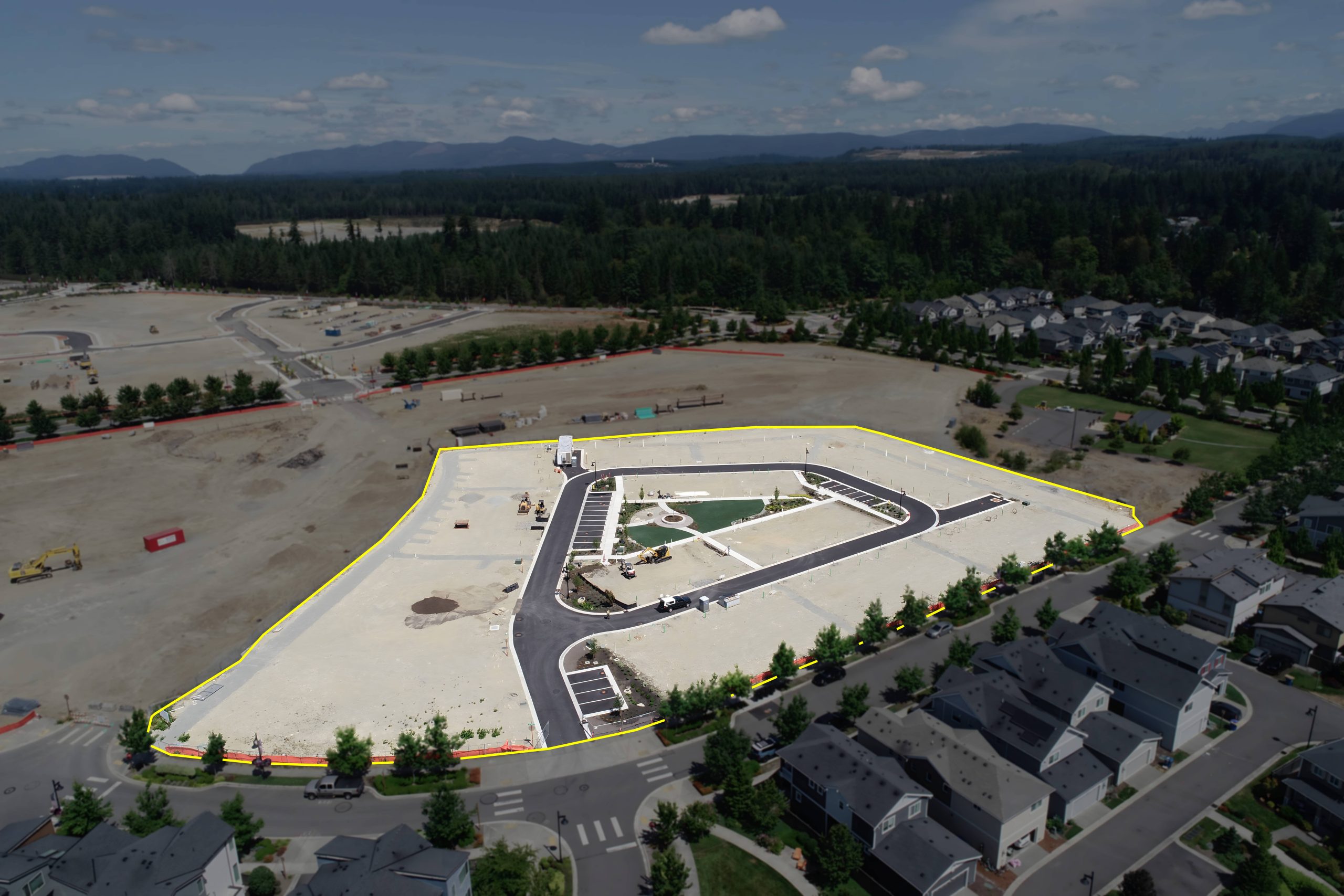
See the whole site. Understand the terrain. Get aerial imagery and elevation data that help you plan your project with confidence.
Detailed aerial images stitched into one continuous overhead view, bringing your site into focus.
A digital picture of your site’s elevations and contours to support planning and earthwork decisions.
02 / SAMPLE WORK
Get a feel for the neighborhood and its surroundings. Open the panorama, then drag to look around.
03 / BEHIND THE FLIGHT
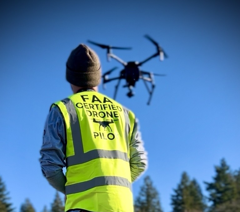
Based in Puyallup, with a background in land survey and a practical approach to drone mapping.
We start with your project and what you need to understand. Then we work with you to put the right aerial data in your hands.
Let’s talk about your site04 / LET’S GET STARTED
Tell us where you’re working and what you need.
We’ll take it from there.